Change coordinates system
This processor changes the Coordinates Reference System (CRS) of a geometry or geopoint column.
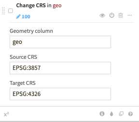
Source and target CRS can be given either as a EPSG code (e.g., “EPSG:4326”) or as a projected coordinate system WKT (e.g., “PROJCS[…]”).
Warning
Dataiku uses the WGS84 (EPSG:4326) coordinates system when processing geometries. Before manipulating any geospatial data in Dataiku, make sure they are projected in the WGS84 (EPSG:4326) coordinates system.
Use this processor to convert data projected in a different CRS to the WGS84 (EPSG:4326) coordinates system.