
Visualizing geographic data
DSS natively supports visualization of geographic data on maps.
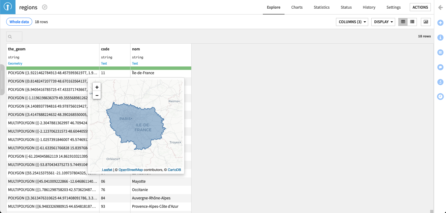
Geospatial Preview
Dataiku DSS allows you to preview any geometry contained in a cell of meaning Geometry or GeoPoint into a map within a popup by either:
right-clicking on any cell and clicking on the
Previewoptionusing the keyboard shortcut
shift + von geographic cells
This preview is available in:
the explore view
the dashboards
the prepare recipe
the visual analysis
the workspaces
Please see Map Charts for more details